FREE UK tracked delivery
 Order by 12pm Mon-Fri for same day dispatch
December 2021 - Tips on navigating in a winter white out
by Nigel Williams

A compass direction operates in two dimensions on a flat surface, only 2/3 of the information we need to navigate effectively in whiteout.
A winter whiteout is when, in poor weather, the sky and ground become one so there is no horizon line and it is impossible to make out the lay of the land just in front of you. It can be very intimidating, especially around ridges, steep avalanche prone slopes and cornices (lips of compacted snow that overhang cliffs and outcrops). Without anything to aim a compass bearing at one can drift significantly off course and the eyes and mind play tricks, especially if a strong wind is blowing snow diagonally across our route or into our face. Forget the old idea of throwing snow balls in front of you to aim on - it doesn't work.
Careful route planning is essential. Try to design a route using objectives that are changes in contour information which can provide physical feedback. For example, a straight line bearing takes us diagonally downwards across a slope for 600m to reach flat ground. Using pacing and feeling the change in the contour spacing enables us to be reasonably accurate about our position. Further confirmation can be obtained by asking companions to walk away in different directions to the limit of visibility and observe if they appear to be level, above or below. This idea can also help gauge the slope aspect (direction the slope is facing).
If there is more than one navigator and compass in a group, walking accurately on a bearing can be managed by working as a team. Once the objective, bearing, distance and expected feel of the ground is agreed, a confident navigator goes out in front about 5 - 10 metres ahead, doing their best to follow the bearing on their compass. The next person behind follows with the same bearing on their compass and steers the front person - "left a bit", "on", "right a bit", "on", often shouting in the wind. With the rest of the team close behind the second person everyone is moving.
The lead person follows the instructions drifting back onto the bearing. The lead person ideally is also counting the paces although others could do this, (the person shouting the instructions can't count paces as well).
If there is only one compass or confident navigator then it can be done by sending an individual to the limit of visibility then directing them left or right onto the bearing, then the group walks to them and the process is repeated. This is a depressingly slow and cold process.
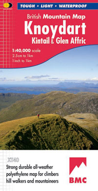
HARVEY British Mountain Maps, made in conjunction with the British Mountaineering Council (BMC), are a great aid to confident and sure navigation. Click to browse the full series.
Return to the Navigation Blog