FREE UK delivery
 For Christmas delivery information

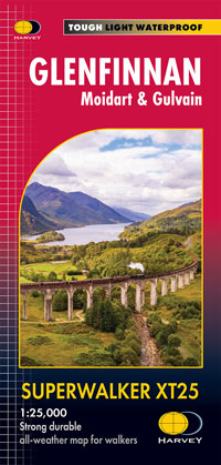
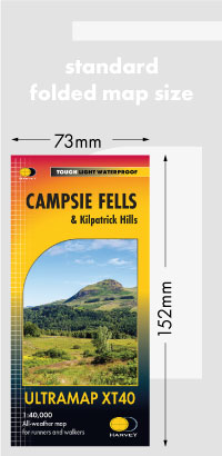
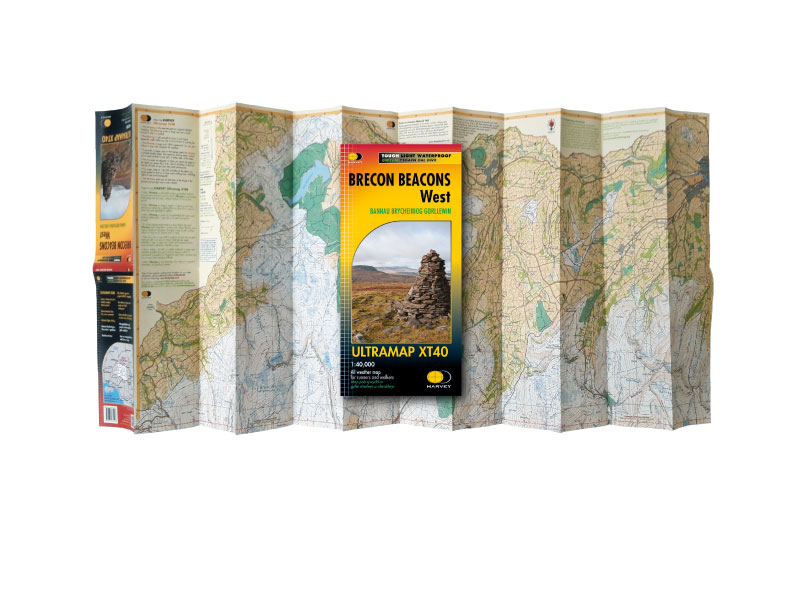
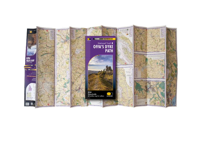
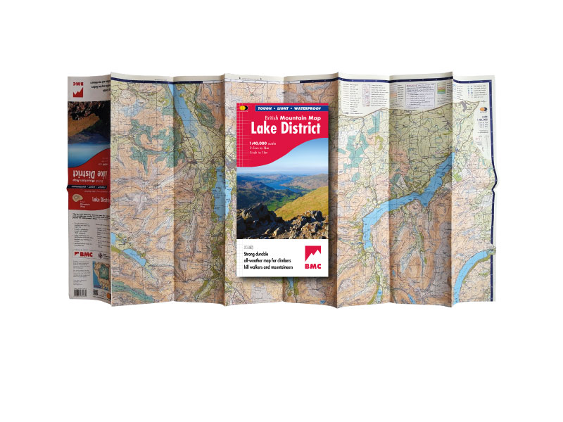
The Maps
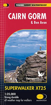
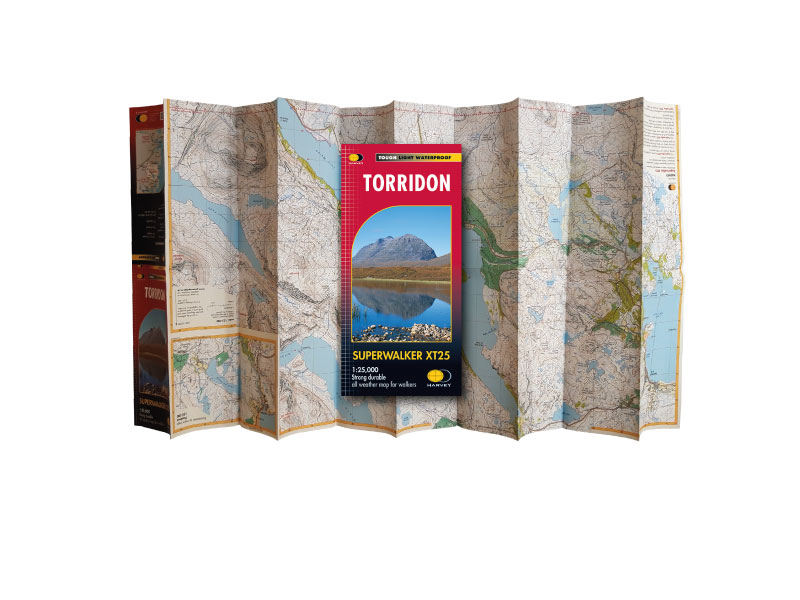
Tough, Light, Waterproof maps at 1:25,000, 1:30,000 and 1:40,000 scale
Explore
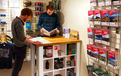
Useful information and guides to help you choose your map
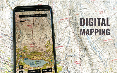
HARVEY DIGITAL MAPPING
Save up to 20% on a partner subscription
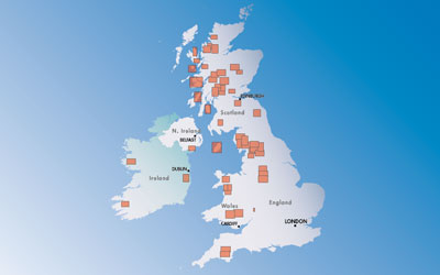
INTERACTIVE MAP SEARCH
Search our list of titles
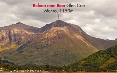
MOUNTAIN FINDER SCOTLAND
The perfect map finding tool
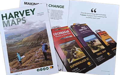
HARVEY MAPS MAGAZINE
Issue 10 available now
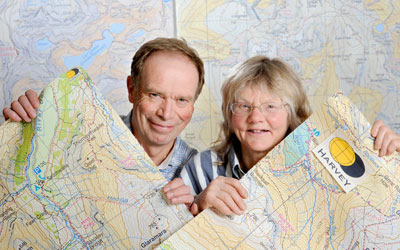
About
Learn about the company, its history, the staff and more