Product Description
The whole of Exmoor National Park on one lightweight, waterproof map.
Detailed map for hillwalkers of Exmoor at the popular 1:25,000 scale.
Exmoor is where the moorland meets the sea. The map takes in all corners of the National Park boundary and covers Combe Martin to the west, Minehead on the northern coast and Exebridge to the south. With a diverse landscape and rich cultural heritage, there is something for everyone to enjoy when exploring the moors, rivers and woodlands of this beautiful and unique region.
Click here to view map coverage
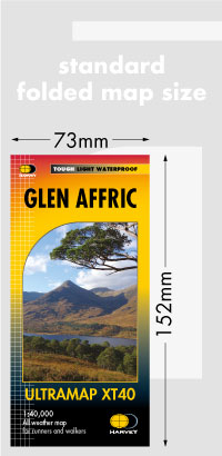
Tough, light, durable and 100% waterproof
Genuine, original, HARVEY mapping
Includes Rights of Way
Opens directly to either side of the sheet
Easy to re-fold
For more information on the Superwalker click here
Mountains on this map
| Mountain | Class | Height | Grid Ref |
|---|
 FREE UK tracked delivery
 Order by 12pm Mon-Fri for same day dispatch