FREE UK tracked delivery
 Order by 12pm Mon-Fri for same day dispatch
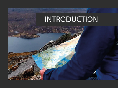
June 2021 - Intermediate Navigation Skills - Introduction
by Nigel Williams
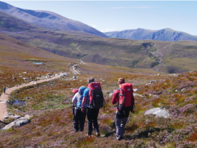
Intermediate is that middle stage of experience when we become confident to navigate off a path for a short distance, cutting a corner to link up to another linear feature or to a viewpoint within 1km, or a distance we believe we can backtrack if we lose our nerve. It often goes with a progression into more remote terrain and maybe moving from a 1:25,000 map to a scale with less information such as 1:40,000 or 1:50,000.
Linking linear features, which generally run across our direction of travel, does not require accurate navigation. We will hit the feature somewhere along the route, provided we maintain a rough direction of travel. When we reach it, we know in which direction we are going to continue our journey. Aiming at a point feature that is not clearly visible requires different strategies and a higher level of accuracy and confidence, so there is a possible progression from aiming at a line feature to aiming at point features.
The science of cognitive navigation suggests that we need to develop terrain confidence through practical experience. It is in part why online learning to navigate doesn't really work. One cannot go from zero to hero as the neurological pathways and ability to create mental maps with fewer landmarks and handrails have to be developed, and a context created for the skills to be relevant. The outdoor qualifications unwittingly acknowledge that through the requirement of 20 day's hill walking before training and a minimum of 40 before assessment.
At any level we should plan as much as possible to link and follow handrail features. It requires fewer skills, making navigation easier and requiring less concentration. As our navigation skills and confidence increase so we start to use less obvious handrails, progressing from paths to streams and eventually to subtle contour features. In addition these become further apart and we become more confident when navigating in poor visibility.
Return to the Navigation Blog