FREE UK tracked delivery
 Order by 12pm Mon-Fri for same day dispatch
May 2021 - Beginner's Guide to Navigation - Choosing a map
by Nigel Williams

There is a balance between the detail on a map, how large an area it covers and cost. There are 3 main scales used in the UK, and all these maps, regardless of the scale, have grid squares which measure the ground 1km across or 1.5km diagonally.
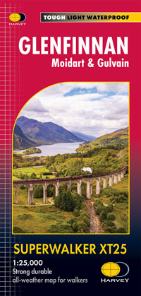
1:25,000 scale (4cms on the map = 1km on the ground or 4mm = 100m) is used by HARVEY Maps and Ordnance Survey (OS). This is the best scale for the novice as it has a lot more detailed information which helps build confidence and trust with the map. This scale includes field boundaries, some underfoot conditions such as marshy ground and rough grassland, as well as visitor and access information. However, these maps cover a much smaller area compared to the other commonly used scales, generally around 460 square kms per map sheet.
So many DofE award expeditions have been caught out by those dashed lines. Rough vehicle tracks such as forest and hill tracks show two parallel small dashed lines indicating the route is unfenced on both sides. Find a footpath and a track close to each other on a map and the difference will be obvious.
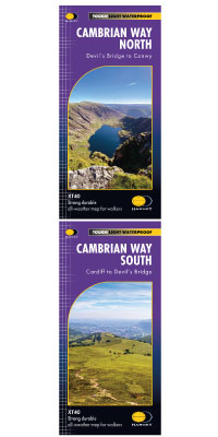
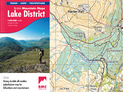
HARVEY maps use a 1:40,000 scale (2.5cms = 1km or 2.5mm =100m) which allows for a great combination of detail and area covered, sometimes referred to as the "magic scale". The map contains 1:25,000 detail whilst covering around 1,370 square km per sheet. It also uses colour shading to help appreciate elevation and makes for a generally more aesthetic map. They are also very tough, lightweight and 100% waterproof. They don't cover the whole of the UK, but focus on upland areas and National Trails from the South Downs to the far north of Scotland.
Scanning the section of map to make an A4 copy for personal use which can fit in a map case more easily may be possible but has limitations, such as no key being available. People who struggle with reading glasses sometime copy and enlarge sections of map to make it easier to read.
Lastly, have the compass handy in a pocket (well away from your mobile phone as the magnet in the speaker can cause significant and permanent problems for the magnetic needle).
Return to the Navigation Blog