01786 841202
 FREE UK tracked delivery
 Order by 12pm Mon-Fri for same day dispatch


Common navigation errors and how to avoid them
by Nigel Williams
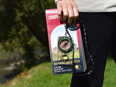
If you only get the map out when you are unsure of your location then effectively navigation becomes a series of relocation exercises and one is drawn to trying to make the map fit the ground. Orienteers reckon that when they start going down that line they are in trouble. It is better to focus on fitting the ground to the map. This might seem quite subtle as we tend to flit between both as we gather information. But the real issue will have been a lack of terrain observation in the first place, which subconsciously makes the map seem the most reliable piece of information.
Anticipation or relocation?
How to avoid repeated relocation episodes and long stops trying to work out your position. Keep the map handy for regular checks, break the route down into sections between obvious features or decision-making points like junctions and anticipate what you expect to see along the way. These may be objects and their relationship to each other and yourself, ground shape, direction changes on linear features etc. Mentally ticked them off whilst walking along so keeping the flow of the journey going, and if shared with the rest of the party means more eyes on the job of observation. Anticipation and observation are essential to making the terrain fit the map.
A loss of concentration
Navigation requires a lot of energy use for the brain and it will try to limit this through prioritising easier tasks, usually a conversation. This is often the root cause of errors, having anticipated knowledge of the route helps maintain concentration and an interest in the navigation task. If something doesn't seem right it is likely to be spotted earlier which reduces your likely location to a smaller area and an easier relocation task.
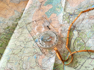
These range from the simple practical skills to equipment accessibility. The most common compass error is referred to as a "one eighty".
A 180º error is made when turning the dial for a bearing, although the lines in the capsule align with the north south grid lines the N on the dial is aligned to the south end of the map instead of the north end. This is by far the most common equipment use error and happens to experienced navigators as well as novices. It is rare for people to align with the east west lines but it can happen.
More of an issue for novice compass users - is when placing the compass on the map to measure a bearing from A to B the compass base plate with its direction of travel arrow is placed the wrong way around as though going from B to A.
The easiest way to avoid both is to first anticipate the rough direction of travel (there's that word anticipation again), before putting the compass on the map. So, if the estimated direction is say roughly south east then expect a bearing to be somewhere between around 110º and 150º when the process is completed. If the bearing reads around 290º - 330º the process error would immediately be obvious. (Sometimes there are other clues such as pointing up hill when you expect to go down or the sun is in the wrong place for the proposed direction of travel).
The good news is, if you make both those simple compass errors then you will get the correct bearing! So 2 wrongs make a right in this case.
Compass not being accessible or awkward to use
If it is awkward to use then people tend to avoid it's use, but it is the quickest way to set the map and works in all conditions. It needs to be kept well away from the mobile phone or any clothing or device with a magnet in it. At the same time, we want it to be easily available to use comfortably which is not having it hanging round your neck. A single long cord rather than a loop attached to clothing like a belt loop or pocket zip so it can be kept in a pocket. It should be usable with the map comfortably at waist height as well as being able to be lifted up towards neck level.
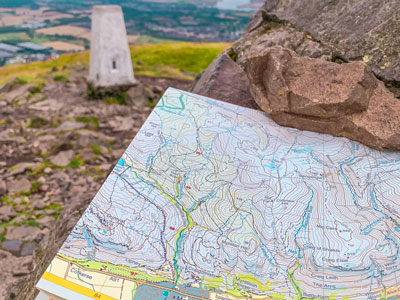
So many online videos about how to take a bearing presume travelling in a straight line, they simply focus on how to use the compass to take an accurate bearing from the map but ignore strategies that actually help find the destination and reduce the chance of building in errors. However, it depends on the distance to be travelled, visibility and how obvious the destination feature is.
Straight lining maybe fine for a short distance but in excess of around 500m errors will creep in; in terms of accuracy of direction and distance measurement. Avoid this with a bit of route planning, look for hand rail features that can be followed leading in roughly the right direction linking obvious features that could bring us to within around 500m or less of the final destination. Identify possible catching features beyond the objective in case you overshoot it. This will be a longer route but the hand rails provide less stress, reduce the chances of an error and if in rough underfoot terrain the going may be easier as most animals (and humans) tend to follow linear features creating faint paths.
Teaching errors
And lastly, never refer to the compass needle as an arrow, it will create considerable confusion for your students as most compasses have an arrow on the base plate and one on the underside of the capsule.
- If you are in need of a compass then we stock a great range of items and other useful navigation equipment, suitable for all levels of navigation.
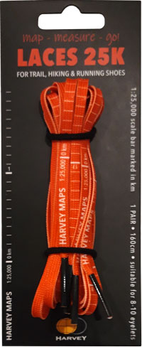
- For the perfect lanyard to go with your compass, the HARVEY Map - Measure - Go! scale bar laces double up to make measuring distance easy! Available in two scales, 1:25,000 scale markings (red) and 1:40,000 scale markings (yellow).
Return to the Navigation Blog