01786 841202
 FREE UK tracked delivery
 Order by 12pm Mon-Fri for same day dispatch


The miles behind the map
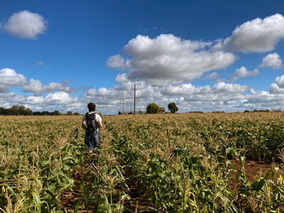
We want to ensure our maps are as accurate as possible - to achieve this we send our team of surveyors out to field-check the base map against the landscape. One thing they always check is paths and tracks under tree cover. When there are a lot of trees the photogrammetrists can have a hard time capturing all the details as they are using aerial photography, so if a path goes under thick canopy, they can struggle to make out where the path goes. This is when the survey team will head out and follow the paths with a GPS device to ensure routes are accurately captured.
The photogrammetrists capture data using orthophotos (georeferenced aerial images). As the aerial photos used are almost always captured a few years prior to data processing, one of the main things that the survey team are checking is whether there have been many changes to the land since the photos were taken. The team need to make sure that they are constantly looking around and assessing, ensuring that they note any changes that will need to be adjusted on the new base map. There are all sorts of things for them to be looking out for, for example, farmers haven put up new fences or taken down old ones, footbridges can get washed away in floods or repaired and replaced, or trees have been planted creating a new section of woodland.
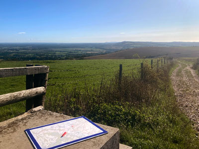
The surveyors head out in all weathers and will often go for days at a time. We want to make sure they can cover as much ground as possible to ensure the most accurate map. On average they cover around 20km each day whilst on survey. For example, on our most recent survey trip to the South Downs National Park, the 4 surveyors over 8 days managed to cover a whopping 640km.
Once the survey is complete and they have collated all the information needed they can then go back through all the data and make the necessary adjustments. We asked the team what they love most about heading out on survey - here's what they said.
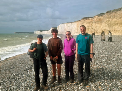
The best thing about going on survey is discovering places you would never have otherwise visited. We'd all heard of Brighton, Hove and Eastbourne, but what about Arundel, Amberley and Alfriston? And those are just the A's! We're pretty thorough on our surveys so you end up finding all sorts of gems. In fact there are several places we've surveyed that I would like to revisit so I can do all the bits the others got to do!
Luke
For me, one of the best things is the chance encounters with people who work in the landscape we are surveying. They are often intrigued and enthusiastic about their area being showcased and keen to help us make the map by providing lots of information that only a local would know. In recent years, I've discussed hill tracks with an art gallery owner in Glenfinnan, learnt local hill names from a landlord in the South Downs, and fed ponies in Exmoor with a farmer!
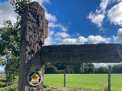
Going on a survey is the culmination of the many months of work that has gone before. A map is an abstraction of a landscape, and now we get to see that landscape for real.
This is the big test for the map. Does it accurately represent what we see on the ground? What is missing? What needs generalising? There is often a very real element of exploration involved, for instance, we may discover a path which is not on our drafted basemap: perhaps it was obscured by trees, or maybe it was only recently constructed. Where does it go, how does it link to the paths we already have? Answering all these questions is the part of survey I find particularly satisfying. In addition, I really enjoy an autumn survey as it is peak wild mushroom season!
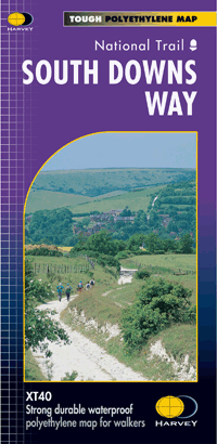
Take a look at our existing South Downs Way National Trail map, and explore a little of the area our surveyors have recently visited.
Return to the News & Features Blog