01786 841202
 FREE UK tracked delivery
 Order by 12pm Mon-Fri for same day dispatch


Tips and tricks for tackling Ben Nevis
Ben Nevis is the highest mountain in the British Isles standing at 1344 meters, located in the Scottish Highlands next to Fort William. We've asked our HARVEY Ambassadors to share their tips and tricks for tackling Ben Nevis. From weather checking to bringing plenty of snacks, we hope these unique tips will help you better prepare for the ascent.
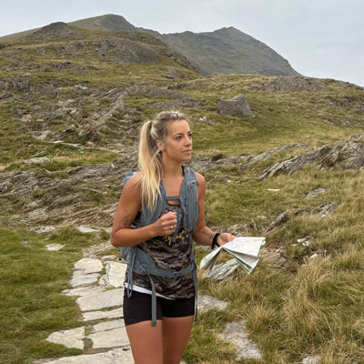
Weather is crucial! I use a combo of MWIS (Mountain Weather Information Service) and Met Office to create a clear picture. Things can change very quickly in the mountains so be extra prepared. Even if it's sunny at the bottom, pack plenty of water and warm layers for the summit, there can be a rough temperature drop of 10-13 degrees at the summit compared to the bottom!
Most people climb the Ben in the summer months when there are only a few small patches of snow left, but in winter when snow is on the ground, the topography changes dramatically. Steep sections of the path above 1000 meters can become very slippery, the summit cairn is often buried in snow and the upper path is usually completely obscured from December to April so some winter mountaineering skills are a must.
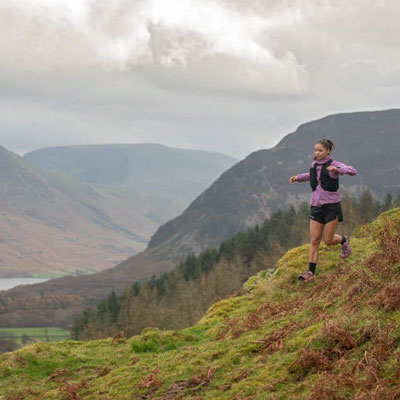
Overestimate everything: Plan for it to take longer than you think, pack way more layers than you reckon you'll need for the summit weather, and seriously up your snack and water game.
Respect the descent: Don't underestimate the walk back down - give yourself plenty of time and take it easy.
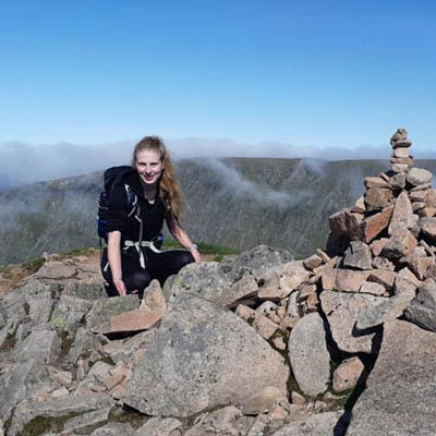
Elevation practice! There's a chunky day of uphill ahead, so a couple of hours on the stair master, getting out to some local hills or even taking the stairs rather than a lift will help prep your legs!
Bring your favourite snacks (preferably lightweight ones) for a mid-way up energy boost. Navigation - obviously your HARVEY map is essential alongside a compass for if Ben Nevis is feeling a bit cloudy on your climb day. Having a HARVEY map means you don't have to rely on signal for digital mapping; and their fully waterproof maps will withstand any weather.
Check your phone/camera storage before you go! Nothing worse than getting to the top for that all important photo and realising you have no space to take a photo. I always find a pair of earphones with an upbeat track playing help me climb a never-ending uphill slope, it tends to distract me from listening to myself out of breath. Practice your summit pose, prepare for how to celebrate your successful climb up Ben Nevis!
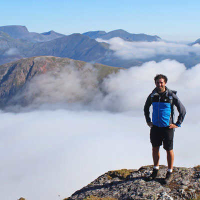
Ben Nevis can be a real physical test due to its height, and by the time you get back to the bottom, a long drive home might not seem too appealing! If you can, stay over in Fort William. It gives you the chance to properly rest after the walk rather than facing several hours behind the wheel on tired legs.
Ben Nevis is a ridiculously busy mountain, particularly in summer, and finding a bit of privacy when you badly need a pee can be near impossible! There are toilets at the car park, so it's definitely worth going before you start the walk.
On your descent, be prepared to hear "how far to go?" an unbelievable number of times from people heading up. Try to be encouraging. For plenty of people, Ben Nevis might be the only big hill walk they ever do, and they could be finding it seriously tough. A bit of positivity from someone heading back down can go a long way. I've seen plenty of people go onto hillwalking Facebook groups to brag about how quickly they managed to do Ben Nevis, but take your time. It's not a race. In good conditions, you'll be treated to sensational views across this part of the Highlands, and you really shouldn't be in any rush to shorten them. Stop, look around and enjoy being on the highest mountain in Scotland.
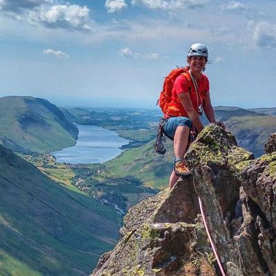
Starting with the sobering fact. Ben Nevis claims more lives each year than Everest. This is why many local mountain guiding companies offer a personal guided experience. If you're not confident in your own skills. Or a little hesitant. This may be a great opportunity to try a guided walk. It is also a fantastic idea to book a guide if you want to experience the much more technical and far more exposed Carn Mor Dearg arête route (CMD). Which is only something to be attempted by experienced hill walkers with technical scrambling knowledge and a real head for heights and exposure.
If the worst case scenario does happen, it is essential you have lifesaving equipment with you to help you. Included would be a lightweight shelter, these are very basic pieces of kit. It's not a tent, it's a bit like a giant bag that you put over the top of your head and you sit inside it. Shelters come in a variety of sizes. A lightweight bivvy survival bag, this is exactly the same material as a foil blanket, but much more effective at keeping you warm. A whistle, in poor visibility this makes you very easy to find. 3 short blasts every minute is the international call for help. A head torch, the same procedure for calling for help. 3 flashes of your torch every minute is internationally recognised. Learn about hypothermia. Man made fabrics are excellent at wicking away sweat. Cotton t-shirts and clothes should always be avoided. Cotton holds on to sweat and works with wind speed and lower temperatures to cause rapid heat loss. Carry layers, and always take a waterproof. Even in the height of a heat wave, take a pair of gloves and a hat. You may be hot and sweaty while you walk. If you are forced to stop with an injury, it doesn't take long to become extremely cold. When I stop for tea breaks, I always put a warm layer on for the stop. It is surprising how cold you get for even brief periods, even when you are stopping just for a snack.
Ben Nevis is particularly difficult to navigate in poor visibility. The summit of Ben Nevis is a plateau. It is possible to become disoriented quite easily in low cloud. There are many places where it is possible to simply walk off the edge. Have a plan B and even a plan C. I find if I do this, I am never disappointed. Plan B is a poor weather day. High winds always stop me heading particularly high. If it's windy in the valley, the higher you go, the more dangerous it will become as the winds will increase with height. There are many incredibly beautiful parts locally to explore at low level. You could consider wandering up to the CIC hut at the bottom of the North face of Ben Nevis. A beautiful walk, and the dramatic side to Ben Nevis many people never see, unless they are a climber.
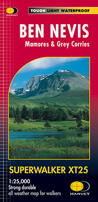
If you are thinking of tackling the big Ben, then be sure to take your waterproof Ben Nevis Superwalker map. Featuring an enlargement of the summit of Ben Nevis at 1:12,500 showing the bad visibility descent route, this is the perfect map to take when heading up Britain's highest mountain.
Return to the News & Features Blog