FREE UK tracked delivery
 Order by 12pm Mon-Fri for same day dispatch
Observation - the first step in navigation
by Nigel Williams

Observation of landmarks around us is usually the starting point of gathering information, sight also gives us natural directional clues, and other senses add to the picture. Hearing running water, feeling the wind direction or crossing slopes at different angles and steepness. Even smells from agriculture and industry can sometimes give us navigational clues.
Navigation on the ground is ultimately decision making. To make a decision we need to gather information through all those senses. Maps and map reading help put into context all the information our senses gather. They enable us to identify a destination, determine our position, plan a route to be efficient and safe in unfamiliar terrain, estimate time and distance, share accurate information, and manage the journey rests and routine.
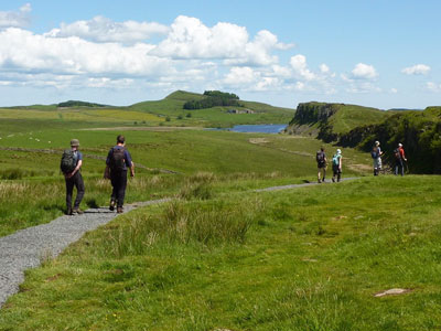
Observing landmarks requires us to verify them on the map. We do not need to learn all the symbols as we can refer to the map legend. A good starting point is to walk a familiar route with no risk of becoming misplaced and see how many things can be observed which are on the map, whilst also appreciating what is not mapped. Try to keep the map in the same orientation as the ground and ignore the writing.
Ideally this checking is done on the move and we can do that efficiently if we are confident of the terrain and our ambulatory skills and we have the map to hand, ticking off features as we pass them. It needs an element of curiosity and practice.
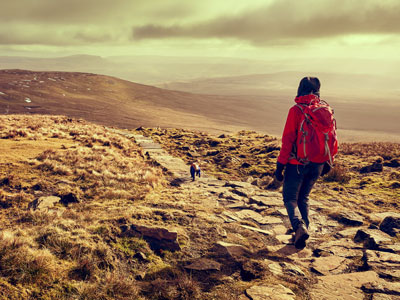
Whilst these observations are essential, novices are initially likely to be poor as their concentration is usually on where they put their feet or focusing on following closely behind someone leading the way. Observation of our surroundings is maximised when we are confident of the terrain we are on such as a track with minimal trip hazards which has the additional benefit of guiding our direction. Therefore, terrain progressions and confidence influences our ability to navigate successfully.
We develop terrain confidence over time and through experience of walking on many different surfaces and in different weather conditions. We often start on pavements, tracks and paths and develop the skills to move relatively smoothly over rough rocky ground and heather covered hill sides. It takes time to develop and as we also get better at observing and recognising navigational clues.
So, terrain progressions should guide navigation skills progressions - it takes time and practice to develop but it is very rewarding and empowering to be able to feel navigationally self-sufficient in the outdoors. Even if someone else is assuming responsibility for navigating it is good to practice the skills with map in hand and be able to back up the leader's decisions.
- If you are in need of a compass then we stock a great range of items and other useful navigation equipment, suitable for all levels of navigation.
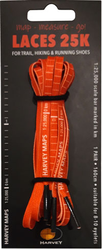
- For the perfect lanyard to go with your compass, the HARVEY Map - Measure - Go! scale bar laces double up to make measuring distance easy! Available in two scales, 1:25,000 scale markings (red) and 1:40,000 scale markings (yellow).
Return to the Navigation Blog