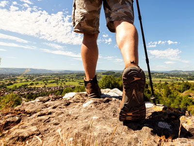
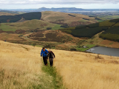
Pacing - what is a pace?
by Nigel Williams

We use pacing after measuring a distance on the map to then measure it on the ground by walking it. Orienteers rely on it hugely. Most walkers rarely need to pace, however it can be useful for just exiting the car park and making sure you get the correct turn at the first junction, especially if there are a number of paths converging, some of which may have been created by mountain bikers. Pacing can be a necessity when going across country on a compass bearing in poor weather or winter.
Historical perspective
Recorded evidence of pacing can be traced back to the Ancient Greeks nearly 2,500 years ago, but was probably used well before that in some form, but without any universal statutory distances such as a mile. Interestingly, measured distances roughly coincided with more accurate measurements of time which would help define speed.
Alexander the Great around 320BC had troops known as "Bematists" whose sole job was to measure and map his marches from Greece into Egypt and across to the Indus river and back.
The Romans recognised that the distance between the toe of the back foot and heel of the front foot is not far off the same length as a person's foot. They decided 5 Roman feet was a pace and 1000 paces (5000 feet) became a Roman mile (shorter than the mile we have today). Just 150 years or so ago pacing was still being used to make maps, often secretly as the British spies known as "The Pundits" were doing in the late 1800s in the Himalayas. Today we first measure a distance on the map to be paced on the ground.
Learning to pace
Most on foot navigators view it as an essential basic skill, although some view it as being linked to advanced compass use in poor visibility and not for the beginner. That rather overlooks the fact that a simple compass was not available on land until the 1600s, nearly 2000 years after the earliest records of pacing.
Reasons to introduce it to novices are:
- Easy to teach and easy to learn, a great confidence builder.
- Really helps understand the map scale.
- Helps to eliminate false paths or unmarked small streams. In Scotland there are an increasing number of unmapped paths in popular mountain biking woods.
- It can also be used to estimate walking speed by timing 100m of pacing.

Beginners will be 90-95% accurate over a few hundred metres on smooth flat ground. This will improve with practice and can be applied to up and down hill and rough underfoot terrain, as well as increasing the distance. However, error is compounded by the distance travelled, so timing often becomes an easier option for estimating distances over 500m or so.
Pacing should be a normal, relaxed all day walking gait. Average paces for an adult tend to be around 65 paces to 100m on a smooth flat track. Taller people may be as low 60, shorter people as much as 70.
For say 350m, it is best to count out 3 x 65 paces and then 32 more for the 50m rather than try to calculate the total paces for the whole distance. It is not super precise so giving or taking a few paces does not matter. Remember we are looking for an obvious feature.
Pacing will vary slightly, increasing with tiredness, heavy rucksack, poor weather, head down or looking up, swinging arms etc. This is not really worth worrying about as it will probably be within that 10% error.
Up and down
Pacing uphill can be achieved reasonably accurately. Paces increase by about a third to half, so someone doing 65 on the flat could come to 80 - 100 paces. However, people adapt their stride pattern in very different ways and some manage pacing similar to their flat ground calculations. If you have to zig zag then pacing is redundant. Usefully the OS locate app has an altimeter on it so you could use that.
Going downhill is very random depending on the steepness, footwear and how slippery the grounds is. Some people could be around 40 paces whilst others are around 80 depending on confidence.
Using pacing
Pacing (and timing) act as mental catching features, time to stop. An example might be a 500m leg to a path junction. If it has not been reached after the relevant pacing it would be appropriate to go a further 50m (10%). After re-checking the map measurement most people will then do an additional 50m just in case the map or their original measurement might just be a little short.
Pacing and group management
In terms of group management pacing is anti-social and requires solid concentration and it is easy to be interrupted or lose count, so beads or some sort of counting system for each 100m is useful. Pick up a stone or use your fingers. It is also likely that the leader is the only person with pacing experience, so no one can check the accuracy. Using timing, the whole group can help keep track on their watch or phone.
By timing how long it takes to cover 100m (which may be the slowest person in the group) it is possible to work out the speed of travel. This is useful as it enables route calculations and changes of plan throughout the day so it becomes a safety management tool.
Practical exercises
If you can find a measured 100m, a football pitch or running track, measure your pacing for 100m. Alternatively check against someone who is confident of their pacing, or just work with 65 paces. Measure a few short distances between obvious features on the map along a path, junctions, stream crossings etc. then pace them to get an idea of how it works and your accuracy.
Find somewhere which goes from flat into uphill. Watch how your stride will generally reduce from about a boot length between toe and heel on each step to around half a boot length. That would generally mean adding 50% more paces for 100m. If you end up heel to toe, then double the number of paces for 100m. Try the same thing but going downhill.
Do remember pacing is rarely needed, but can be invaluable over short distances when accuracy is required and cross country in poor visibility.
Return to the Navigation Blog
 FREE UK tracked delivery
 Order by 12pm Mon-Fri for same day dispatch


